- Gratis verzending vanaf 30 euro
- Levert in Nederland, België etc.
- Meer dan 30.000 titels
- Vakkundige klantenservice
- Snelle levering
- Veilig en eenvoudig betalen

Direct contact?
Bel +31 (0)6 42428571
maandag t/m vrijdag
van 10 tot 17 uur
Klimgids Winter Climbs in the Cairngorms | Cicerone
Selected snow, ice and mixed climbs in the Cairngorms and Creag Meagaidh

Guidebook to more than 450 winter climbs in the Northern Corries of Cairn Gorm, Braeriach, Beinn Bhuird, Lochnagar, Glen Clova and Creag Meaghaidh. Includes a wide selection of snow, ice and mixed routes of varying grades and lengths, from straightforward Grade I snow gullies through to extreme ice and mixed climbs of Grade VII and above. With clear route descriptions accompanied by symbols denoting the type of climb (snow, ice and mixed) and photographic topo diagrams, this guide helps climbers choose the best route for the prevailing conditions.
Advice is given on how the required snow/ice conditions form for each climb, as well as how to evaluate avalanche risk, while approach maps for each climbing area show the best routes to access each crag. The Cairngorms offer some of the most reliable and accessible winter climbing in Scotland. Deep recesses and remote corries are home to some of the best mixed climbing anywhere.
In good weather the journeys to and from the climbs can be as rewarding and memorable as the ascents themselves, while in poor weather the conditions will challenge the skill of the greatest mountaineers.
Engelstalig
EAN: 9781786311252
Uitgeverij: Cicerone Press
Verschijningsdatum: 2023
Meest recente editie
Engelstalig
312 pagina's


Op voorraad
Overmorgen in huis (Nederland)
- Vakkundige klantenservice
- Groot assortiment
- Gratis retourneren binnen 14 dagen
- Aangesloten bij WebwinkelKEUR
€ 31,99
Meer producten die interessant kunnen zijn
Topografische kaarten Noord-Schotland
Topografische Wandelkaart OL57 van Groot-Brittannië (1:25.000) Cairn Gorm & Aviemore, Loch Morlich - Explorer Map OL 57
Wandelkaart | Ordnance Survey (OS) Groot-Brittannië
€ 18,99
Topografische Wandelkaart 15 Loch Assynt Lochinver & Kylesku - Landranger Map
Wandelkaart & Fietskaart | Ordnance Survey (OS) Groot-Brittannië
€ 18,99
Topografische Wandelkaart 19 Gairloch / Ullapool (Loch Maree) - Landranger Map
Wandelkaart & Fietskaart | Ordnance Survey (OS) Groot-Brittannië
€ 18,99
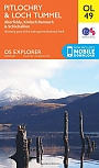
Topografische Wandelkaart OL49 van Groot-Brittannië (1:25.000) Pitlorchry & Loch Tummel / Aberfeldy - Explorer Map OL 49
Wandelkaart | Ordnance Survey (OS) Groot-Brittannië
€ 18,99
Wandelgidsen Noord-Schotland
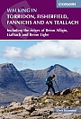
Wandelgids Walking in Torridon Fisherfield Fannichs and An Teallach Cicerone Guidebooks
Including the ridges of Beinn Alligin, Liathach and Beinn Eighe
€ 21,99
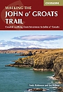
Wandelgids Walking the John o' Groats Trail | Cicerone
Coastal walking from Inverness to John o' Groats
€ 21,99
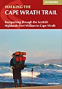
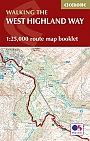
Wandelgids Cape Wrath Trail Cicerone Guidebooks
through the Scottish Highlands from Fort William to Cape Wrath
€ 21,99
Wandelkaarten Noord-Schotland
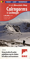
Wandelkaart Cairngorms and Lochnagar - Mountain Map | Harvey Maps
Water- en scheurvaste wandelkaart
€ 28,99
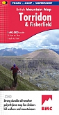
Wandelkaart Torridon & Fisherfield - Mountain Map | Harvey Maps
Water- en scheurvaste wandelkaart
€ 28,99